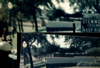
A couple things here: (1) The E-W section of The Picket Fence was Not in-line with the Black Dog Man Nook. We see the Sun reflecting off the E-W section of the Picket Fence on the Willis 5 "Black Dog Man" photo. That reflection is (N)/Behind the Black Dog Man. There are many photos and film clips that display that E-W section of picket fence being (N) of the Black Dog Man Nook.
Doesn't the Phase-II Map show the E-W section of the fence would extend north of the retaining wall's south end? Willis06 shows the fence not extending as far north as Willis05.

(2) I do Not recall photos showing there being 2 Steps (N)/Behind the Black Dog Man Nook. There's film evidence of there being a Large TARP/TENT stretching over this area. The Tarp/Tent extends back close to the Pergola Shelter. This footage was taken shortly after the assassination. Maybe there was some Repair/Alteration work being done?
The steps don't go north of the retaining wall's south edge. That's why I pointed out that the aerial doesn't show through the foliage the retaining wall's south edge. If we knew that, then we might be able to see if the Phase-II Map wrongly scale either the knoll steps or the retaining wall corner., or both. Or maybe their whole version of the Pergola and steps are not to scale.
Until then, I retained the Phase-II's scaling of the Pergola and the steps. I could see on the aerial where the steps met the sidewalk and that where I relocated the Phase-II Map's steps. Using other areas seen through the foliage, I placed the Phase-II Map's pergola main structure separately.
You should be able to work out why the steps and the retaining wall don't meet up correctly using the Phase-II Map's version of those items as relocated using an aerial photo.